Case study · NSG Geospatial Services
NeoMaps
NSG's national geospatial platform: I built its frontend, led it on multiple releases, and designed the interface from wireframes to launch in October 2025.
- Role
- Software Engineer ✦ Led ✦ UI/UX Designer ✦ Tester ✦ Business analysis
- Timeline
- Nov 2024 - Apr 2026
- Context
- NSG Geospatial Services
- Platform
- Web platform for map and geospatial data

01 Overview
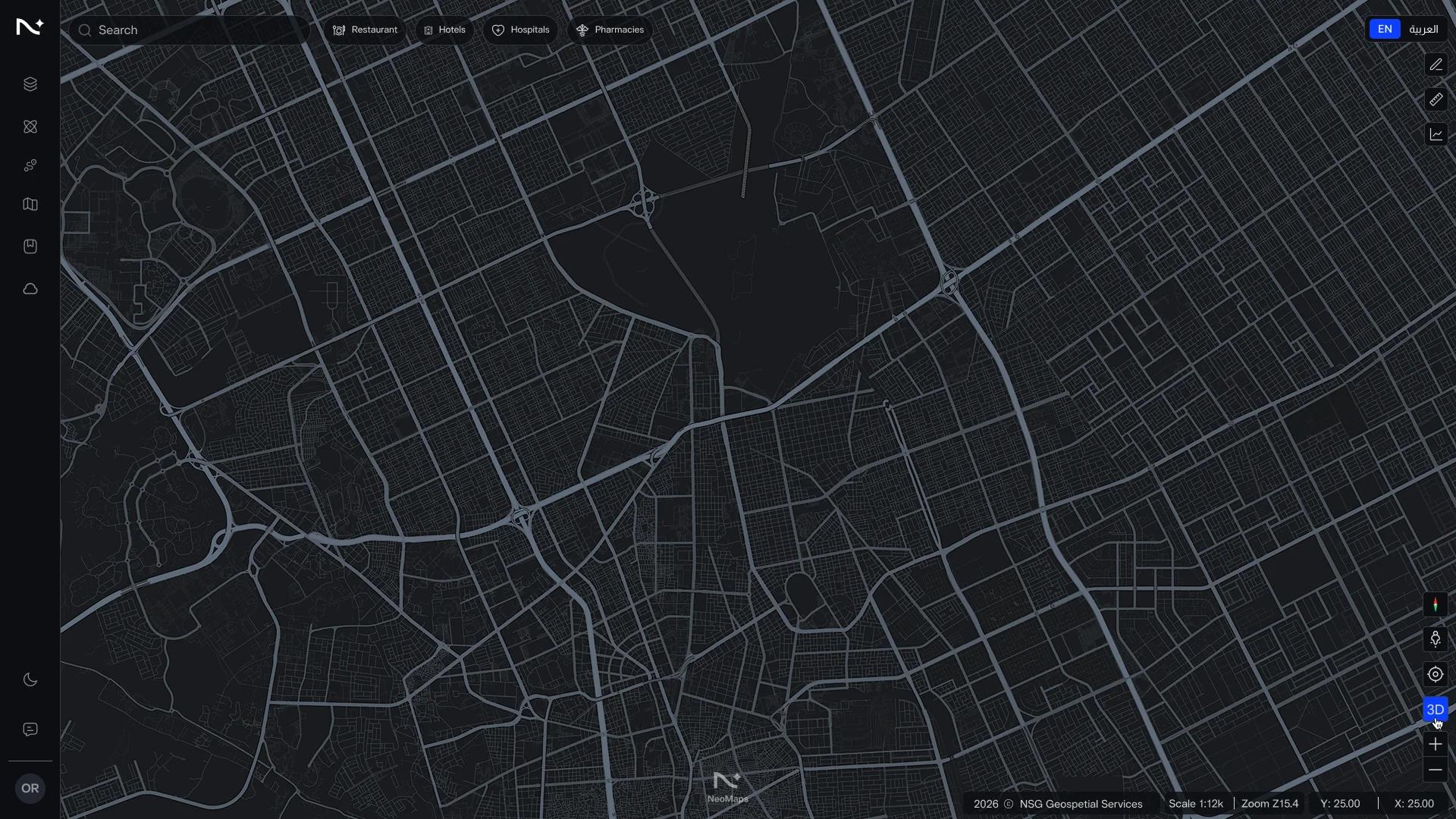
NeoMaps is NSG's geospatial platform. Government entities, companies, and giga-projects use it to explore, visualize, and analyze geospatial data from many sources in one interface: switch base maps, add data layers, style them, and measure areas of interest.
- 2025 2025 · Launched publicly
- 3 Sectors served: security, civil, commercial
- 10+ Map tools I built
02 Problem
Organizations in Saudi Arabia needed one easy interface for geospatial data that was developed, hosted and operated in the Kingdom, instead of relying on foreign mapping tools.
Constraints
Unlike e-commerce sites, geospatial platforms must deliver peak performance while handling massive data volumes and heavy user loads. They require seamless, real-time interactivity to ensure a frictionless user experience, all while maintaining strict security across a multi-tenant architecture.03 My role
I was the main frontend developer, led the frontend, and also designed screens and wrote requirements.
- FrontendBuilt the map interface and its tools: base maps, layers, styles and measurement
- Frontend LedSet the architecture, system design, components structure, reviewed code, and guided 4 developers
- UI/UX designDesigned multiple screens, from wireframes to the final UI
- Business analysisTurned stakeholder needs into functional user stories with acceptance criteria
- Frontend
 Next.js
 React
 TypeScript
 JavaScript
 React Query
 React Router
 HTML
 Figma
 CSS
 ESLint
 GitMicrosoft Azure
 Axios
 Sass
 Zod
 Vite
 Tailwind CSS
 Prettier
04 Key decisions
NeoMaps launched publicly in October 2025 and serves security, civil and commercial users.
One source of truth for layers
What we chose
A single layer store in Redux that the layer panel, the style editor and the map all read from
Why
Turning a layer on, reordering it or changing its color updates every part of the interface at once, with no screens out of sync.
Trade-off
Every new layer type has to fit the store's model first, which slowed the first features but made the later ones faster.
A feature-based frontend
What we chose
The code is split by feature, each with its own components, state, and API calls, on a shared design system
Why
Several developers could work on different features at once without breaking each other's code, and a new screen reused existing parts instead of starting from scratch.
Trade-off
Time up front to agree on the structure and build the shared components, and rules to enforce in code review.
Load only what the user needs
What we chose
Code splitting by route, lazy-loading the map engine and heavy tools, caching API responses, compressed and cached tiles, etc.
Why
The first screen appears fast, and the heavy map code and analysis tools download only when someone opens them.
Trade-off
More loading states to design and test, and a short wait the first time each tool opens.
05 Result
NeoMaps launched publicly in October 2025 as NSG's national geospatial platform, serving security, civil, and commercial users. The interface I built and designed is the one they use to explore, style, and measure geospatial data.
- 2025 Launched publicly
- 20+ Map tools
- 2 Developers I led
What I learned
NeoMaps taught me that a map interface is judged in the first seconds: if layers lag or controls hide, users stop trusting the data. Next time I'd set performance budgets and test with real datasets from the first sprint, not after the features were built.
With thanks to
Next project: My Portfolio
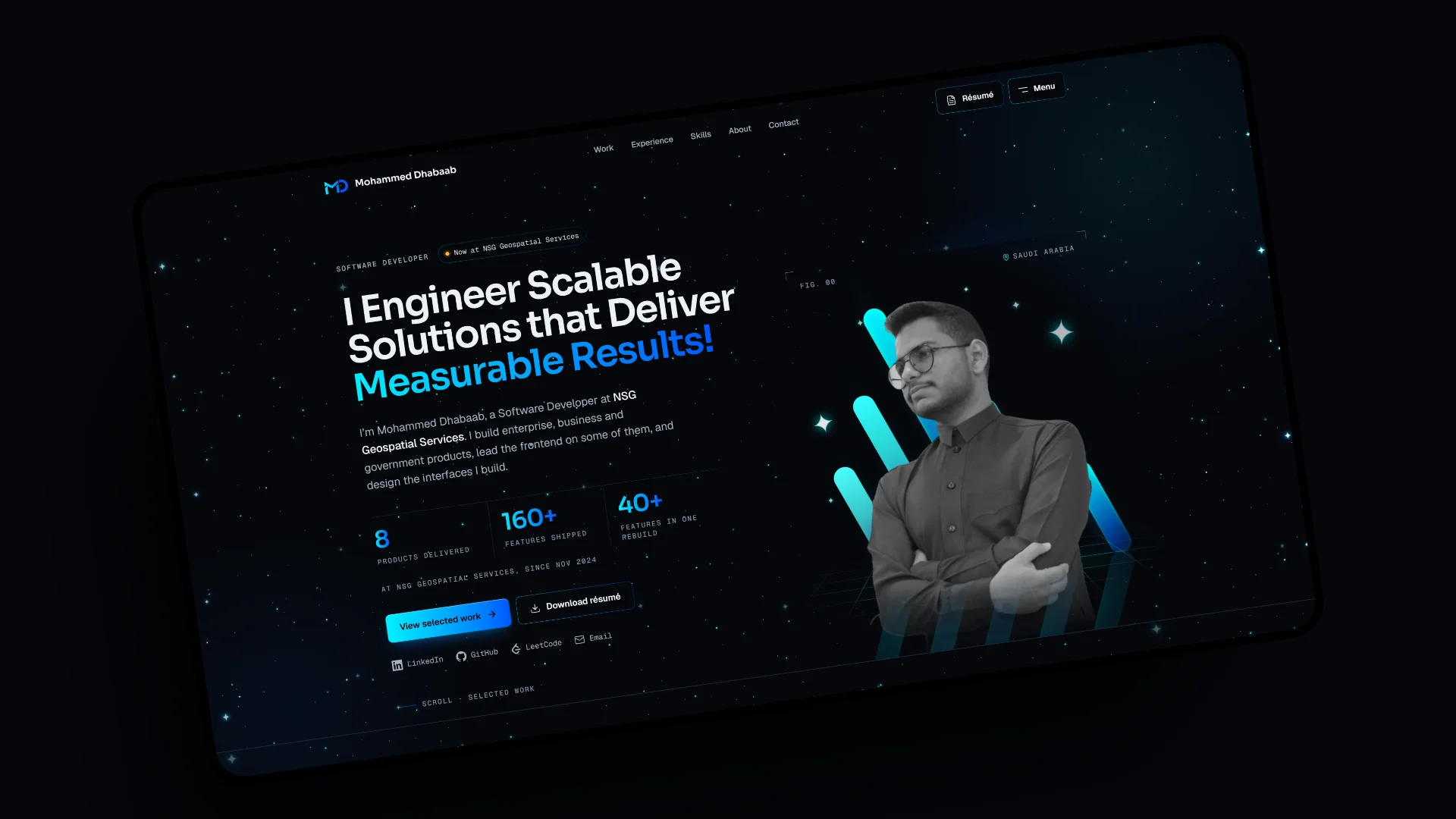
A content-driven site with typed content, a dev-only admin panel and an architecture enforced by lint rules.
Questions